Interpretive Design + Public Art
Storytelling in the landscape should be simple, authentic, beautiful, and timeless. Done well, interpretive design can help reinforce a healthy relationship with the natural world; bridge the past, present and future; help us move more mindfully through our rapidly changing world and climate; guide our attention and care; and contribute positively to new language and narratives that can help to elevate cultural, historic and environmental literacy and integrity. There is an inherent quality of reverence embodied by this genre of design. Through site-integrated interpretive design, educational and commemorative goals are seamlessly woven into the landscape itself - whether ingrained in site features, furniture, walkways, and facades, or standing alone as public art. I desire to elevate and expand the art of interpretive design through use of new technology such as laser-cutting and 3D printing, and to always work in close collaboration with local artists and scientists. Interpretation is a cultural expression that reflects our relationship to nature and to each other... it’s important to get the stories right not only in what is told, but how it is presented.


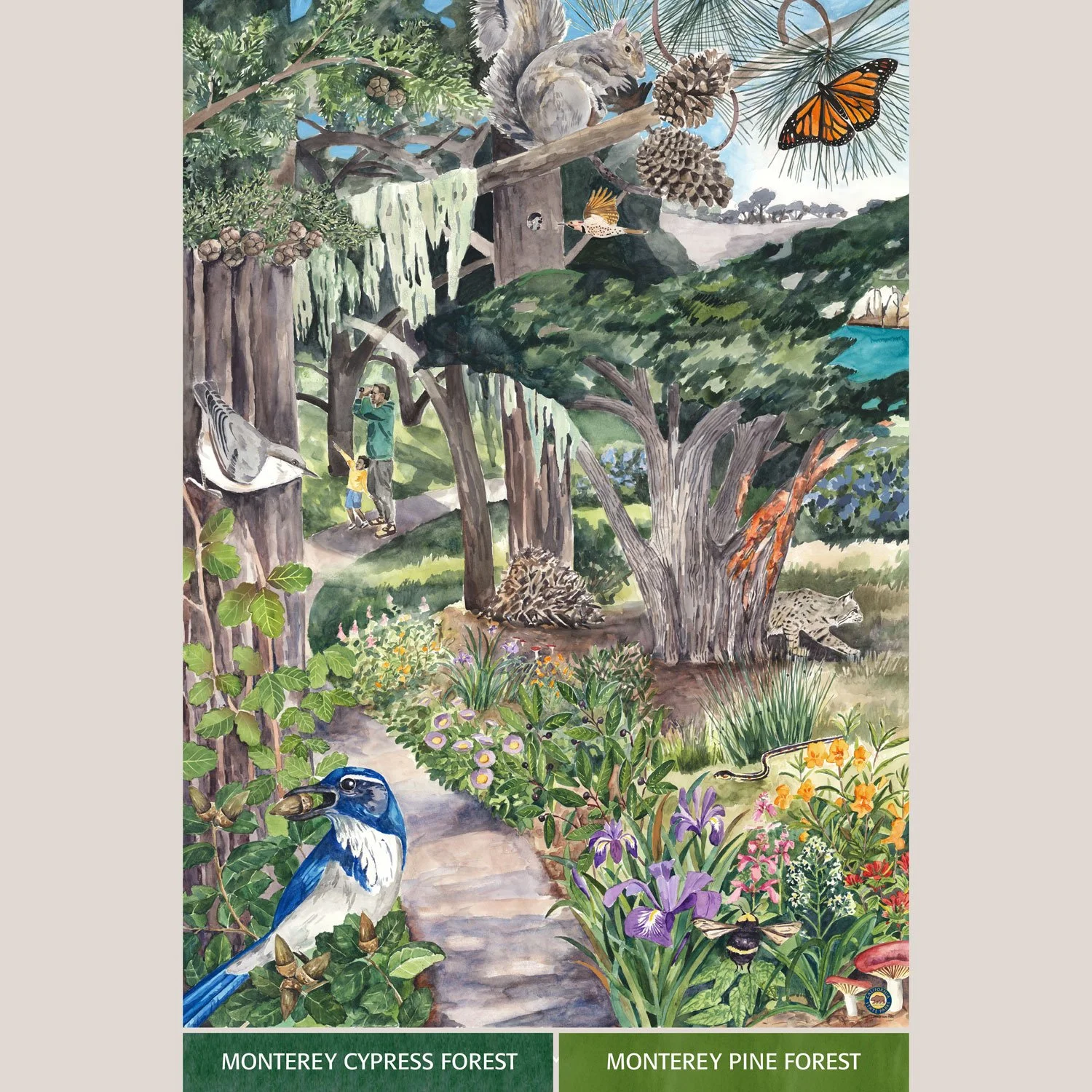
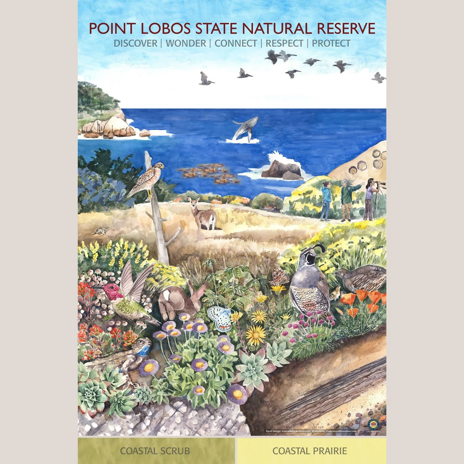

Point Lobos Habitat Map + Panels
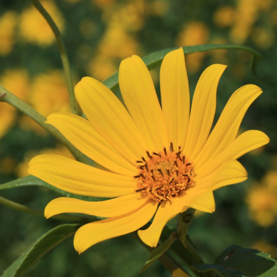
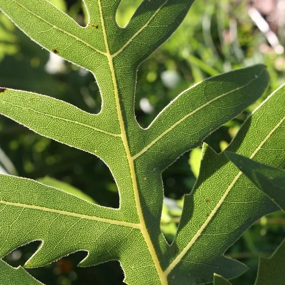
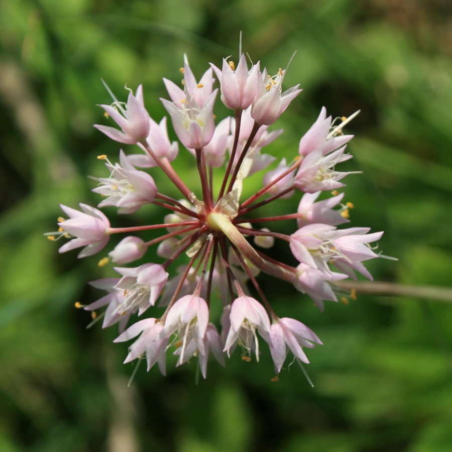
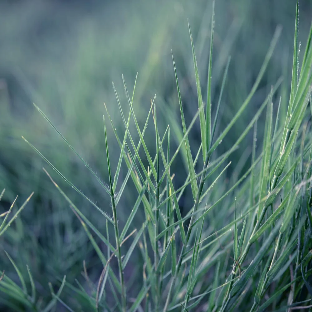
Jessica Dune (formerly JMLA) executed a deeply enjoyable project in 2021, working closely with California State Parks,the Point Lobos Foundation, and Emily Underwood (artist) to create three new habitat panels that exhibit 90 species of flora and fauna found at Point Lobos State Natural Reserve. A watercolor map panel shows locations of eight habitat types. One of the most visited State Reserves in California, this beloved place also hosts an incredible diversity of life above and below water. A QR code translates species names into a number of different languages.


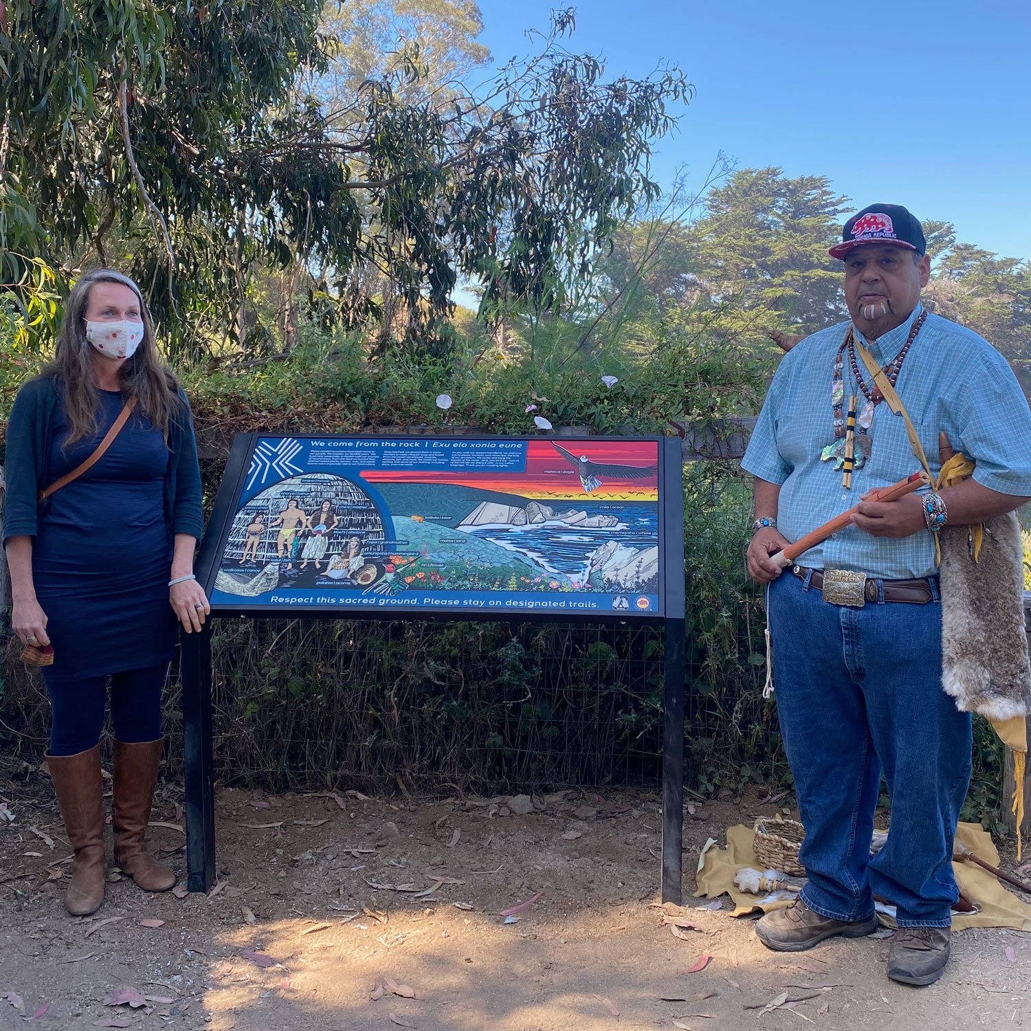
Esselen Ground
Overtourism in Big Sur creates erosion and damage to ancestral homelands of the Esselen tribe. A panel was created to help educate global visitors to Julia Pfeiffer Burns State Park, which sometimes receives thousands of visitors a day. There were existing interpretive panels in the park that describe colonial settlement, and it was overdue to represent the original inhabitants of this iconic landscape. This panel was based upon archaeological research by California State Parks and in close consultation with the Esselen Tribe of Monterey County. It features words of the Esselen language, while commanding the respect of visitors to tread lightly on these ancestral grounds. Completed in 2019. Original scratchboard art by Emily Underwood.


SMORE Youth and Family Campground
Working closely with Ventana Wildlife Society, and after a thorough ecological and program site analysis, Jessica Dune (formerly JMLA) designed a master plan for a youth and family camp, known as SMORE (“Space for Meaningful Outdoor Recreation + Education). VWS, a conservation organization that also does California condor recovery, will use this site to run their nature immersion program for local youth and families with less access to wilderness. The program is in a special use area within Andrew Molera State Park near the Big Sur River within one of the most beloved of the region’s state parks. One of the most rewarding community projects with a beautiful mission - to help everyone feel more at home in nature!


Malibu Trails
Malibu is really owned by mountain lions! These interpretive panels were designed for a new section of pedestrian trail within the Santa Monica Mountains Local Coastal Zone. It was meaningful to bring a reminder of the native Chumash into these mountain landscapes they have called home for millennia, and the native and endemic flora and fauna are rich here beyond words. Each panel measures 24”x 24,”and will be displayed as a triptych on a simple wooden pedestal. Designed to look like large cyanotypes, or “sun prints”- this aesthetic is wonderful for capturing the diversity of textures and patterns of life in a unified presentation. These signs will look beautiful for years in the southern California sun, with UV protection. (Rana project)


West Cook Wild Ones
A habitat garden sign designed for the West Cook Wild Ones in Hinsdale, Illinois distinguishes native plant gardens that attract and provide for insects, birds, and wildlife; and which collectively enhance the larger West Cook Wildlife Corridor. A compass plant was chosen as a symbol for the immense hospitality this particular plant offers to bees, butterflies, and birds. These signs are intended to challenge perception around what is considered beautiful - and ask viewers to consider that a richly diverse and wild native home garden is beautiful both aesthetically and ecologically. Purchase yours here.


India Basin
Salt marshes are an endangered ecosystem. California has lost as much as 90% of its original marshland to agriculture and coastal development. In advance of sea level rise, now is the time to reclaim this soft, fertile edge that once defined San Francisco’s beloved estuary. Salt marshes support an astounding diversity of life, while also functioning to protect water quality, inhibit erosion, and create healthy floodplains. Because marsh plants grow rapidly, yet live in anaerobic soils with very slow rates of decay, salt marshes sequester and store large amounts of carbon. Within the tidal frame (the elevation range between the lowest and highest tides) signature plant species thrive in low, middle and high marsh zones according to factors such as water depth, duration and frequency of tidal inundation, drainage, salinity, and sediment supply. With sea levels rising, baylands should strive to accommodate vertical "marsh migration" along a gentle slope that will allow these habitat ranges to shift, while creating upland refuge that is critical for the survival of many endangered marsh animals during extreme high tides. The San Francisco Bay Conservation + Development Commission (BCDC) has ambitious and urgent goals for marsh reclamation in the next few decades. Past project experience utilizing GIS to inform salt marsh habitat design inspired these sample interpretive graphics. We desire to aid in broad public education + interpretation of this extraordinarily beautiful habitat! (concept for Rana project)